The road from Kristiansand to Stavanger
The road from Kristiansand to Stavanger can either be taken on the high way E39 or you can take a detour along the Atlantic coast. The length of the drive measured in kilometers are not significant but the road along the coast will in pure driving time cost you an extra hour. It’s 257 Km and is expected to take 4 hours and 15 min to drive. But why just drive, experience the Norwegian landscape along the route.
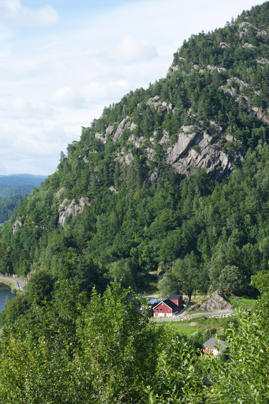
Allow yourself short stops to briefly enjoy the views and the landscapes – for my part comming from a lowland country it’s a dramatic change from home – as it presents quite various elements along the tour and combine it with longer visits to attractions.
I arrived with the ferry from Hirtshals in Denmark to Kristiansand and was expelled from the ferry onto E39. If you come from Europe you might believe that a road denoted E39 is a motor way, equipped with at minimum 2 lanes in each direction separated by fixed fencing and a hard shoulder for emergency allowing traffic to run smoothly at high speed. Then you’ll not recognize the Norwegian E39, to me it looks like an ordinary country high way, with crossing traffic, oncoming traffic, frequent stops and the speed limit is maximum 80 km/h.
As the road has this characteristics you are allowed to stop and you will frequently meet small inlets in the road side where it is possible to stop for at brief stretch of legs and to shoot photos of the scenic landscape.
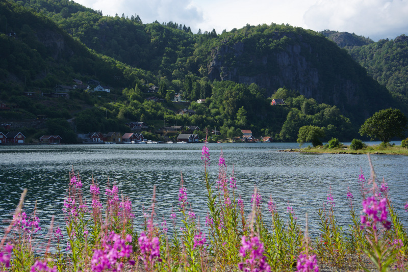
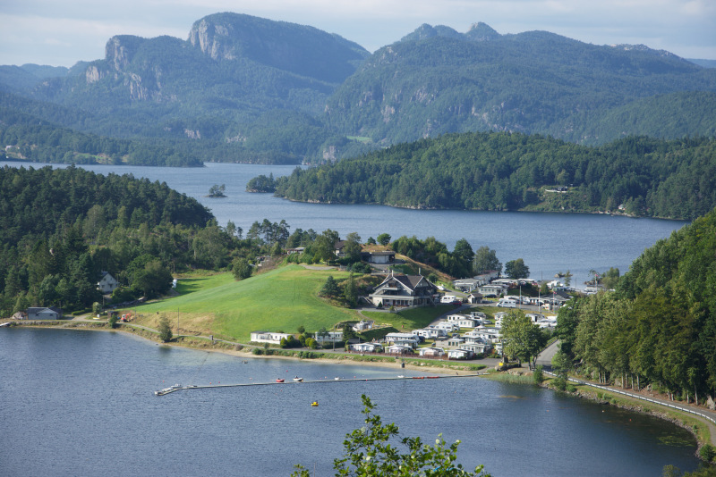
Follow the E39 to Flekkefjord, just before you reach Flekkefjord you find the Magma Geopark. Don’t expect much it is a poster on the roadside on a explaining the geological shaping of the landscape in the southern Norway. To me it mostly poses as a great view of lakes and mountains.
In Flekkefjord you should change from the E39 to road 44 with direction towards Eigersund(or Egersund), this will bring you closer to the coast.
If you haven’t researched from home and found a place to dine I will recommend to look for a restaurant in one of the larger cities you passes, e.g. Eigersund.
North of Eigersund you enters the national scenic route named Jæren. The route features some sights.
Driving near the cost you find some places that seems quite uninhabited and deserted, the major components in the landscape are bare rocks and the sea. With a blue sky and a few clouds it can make scenic photos. As I drove through on a clouded evening I can’t present such photos – but I’d like to.
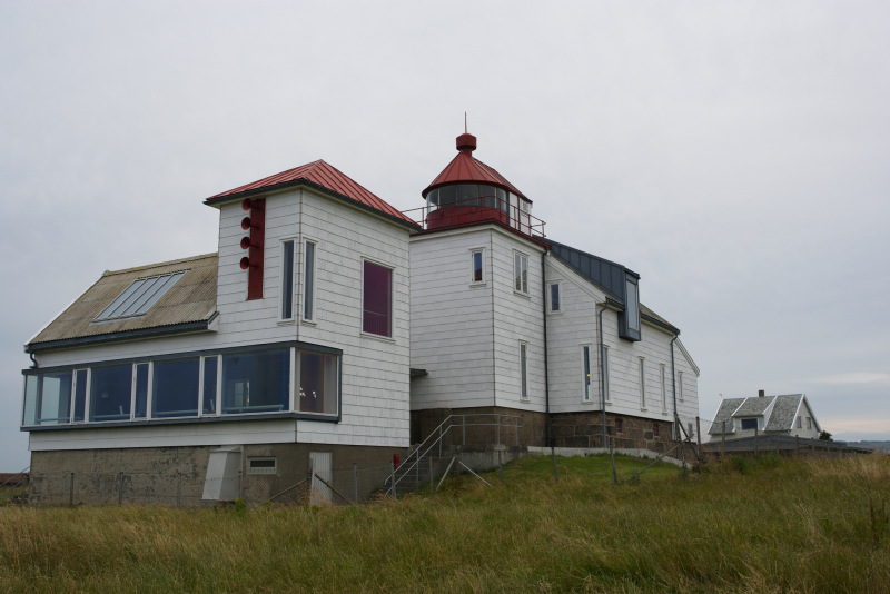
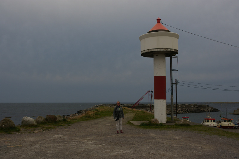
Kvassheim harbor host maximum 20 small fishing boats. It’s a nice place to have the snack you brought along while you watch the northern Atlantic Ocean. Just south of the harbor you find a small light house witch brings memories of a time for sailors before the GPS, while shooting photos of the lighthouse you should look out for the cows on the field.
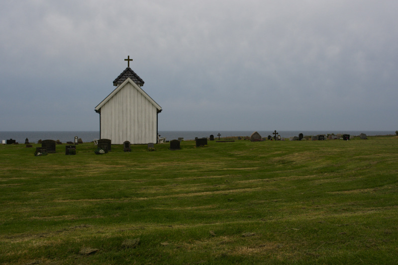
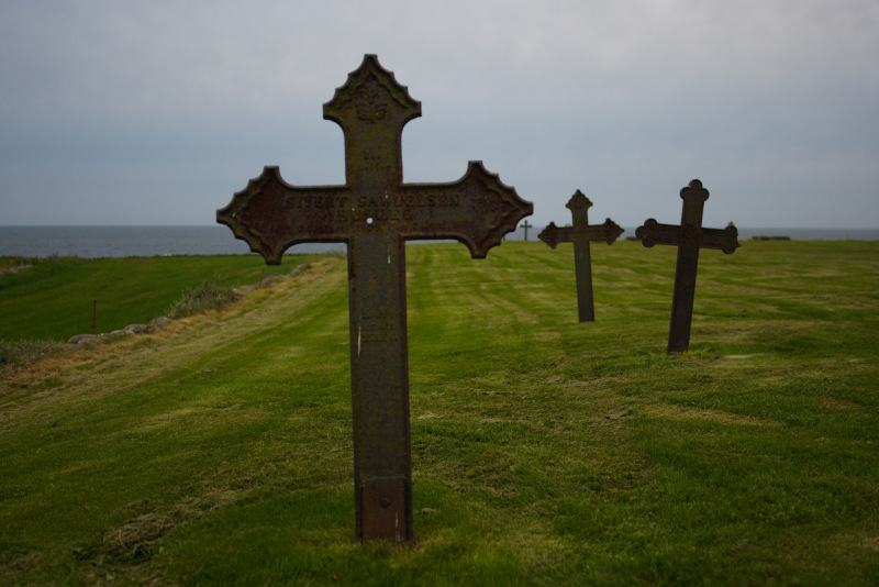
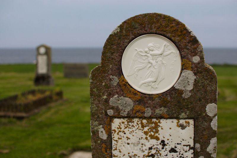
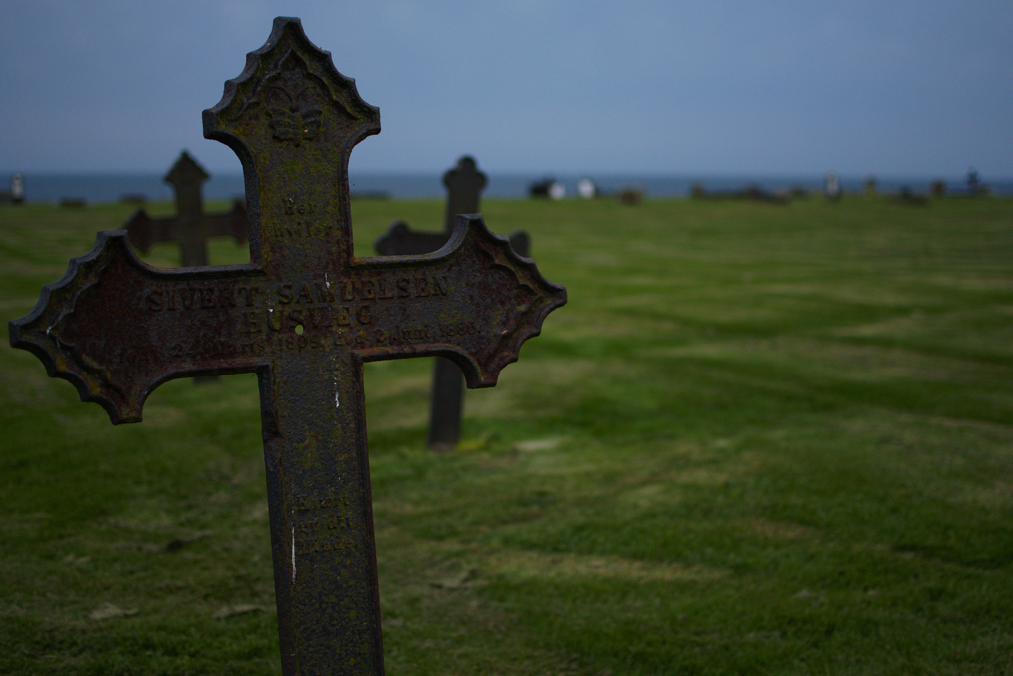
About 8 km north of Kvassheim you’ll find Varhaug Gamla Gravlund (old grave yard). There is not a church in the grave yard, just a very small chapel. The head stones and crosses are placed directly in the lawn without fences between the individual graves, as it’s known in Denmark. I arrived at 10 PM, with approximately half an hour to sunset on a heavy clouded evening, it made the light quite spectacular.
I have definitely not covered all sights on the coast road, just grab google.com/maps or openstreetmap.org and do some research yourself, both will revile lots of views and attractive places to visit.
